
Organized the way you walk
Project, then folders you name (“Building 3,” “Pool area,” “Phase 2”), then areas. Next Area takes you straight to the next one with the same item type.
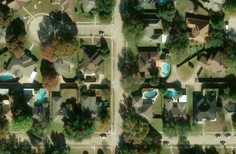
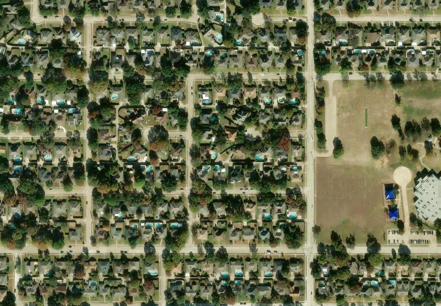
Walk the HOA and photograph each sidewalk, curb and asphalt repair. Jobsite Reel tags every area with GPS, works out square feet, tons and cubic yards, and builds a PDF with a satellite map your client can follow block by block.
Built for concrete and paving contractors. Runs on iPhone, no App Store download.
On a big HOA walk you can mark forty failed areas in an afternoon. Back at the truck, the camera roll is a pile of near-identical concrete, the notes say “by the big oak,” and the board wants a map. Jobsite Reel keeps the photo, the measurement and the location together from the moment you take the shot, so nothing has to be pieced together later.
How it works
Tap New Area and your iPhone camera opens. The location is captured the instant you tap, averaged from the freshest GPS readings while you stand still.
Length × width for flatwork, linear feet for curb and gutter. Square feet, tons for removal and cubic yards for replacement add up per area, per folder and for the whole project.
One tap builds a PDF: cover page, overview map with every area numbered, a quantity summary, and a page for each area with photos, notes and its own satellite map.
The report
Boards and property managers don't want a spreadsheet of “Area 14, east side.” They want to see it. Every report starts with an overview map of the whole property, each pin numbered and colored by repair type, and every number on that page links to the area's own page.
Built for the walk
GPS starts warming up the moment you open a project, so it's already locked by the time you reach the first slab. Each area gets an accuracy-weighted fix from the freshest readings, and walking readings are thrown out. For the ones that matter, Pin Here averages every reading for 5 to 30 seconds while you stand still. Every pin shows its accuracy, and if one lands on the neighbor's driveway you drag it onto the right slab. Jobsite Reel keeps the original reading.
Project, then folders you name (“Building 3,” “Pool area,” “Phase 2”), then areas. Next Area takes you straight to the next one with the same item type.
Arrows, circles, boxes, dimension lines and text, right on the photo. The marked-up version goes in the report and the original is kept.
Once it's opened, the app works offline. Photos and measurements save on the phone as you go, and satellite imagery you've already viewed stays cached.
Add your logo, accent color, phone and email once. They go on every report, and you choose exactly what the client sees.
Export KML for Google Earth, CSV for your estimating spreadsheet, or a full project backup to Files or iCloud.
The tonnage divisors and a waste percentage are editable in Settings, so the numbers match the way you already bid.
Quantities
Pick what you're measuring in each folder: asphalt, concrete sidewalk, concrete curb, or curb and gutter. Enter the depth or the curb section once, then size each area. Totals roll up as you go.
| Item | You enter | Tons | Cubic yards |
|---|---|---|---|
| Asphalt | L × W (ft), depth (in) | SF ÷ 159 × depth | – |
| Concrete sidewalk | L × W (ft), depth (in) | removal: SF ÷ 159 × depth | SF × depth ÷ 12 ÷ 27 |
| Curb / curb & gutter | LF, width × height (in) | removal: CF × 12 ÷ 159 | CF ÷ 27 |
Example: 47 SF of 4" sidewalk → 1.18 tons to haul off, 0.58 CY to pour.
Pricing
Try it on your next walk free for 14 days.
Prices in USD.
No. Open Jobsite Reel in Safari on your iPhone, tap Share, then Add to Home Screen. It gets its own icon and opens full-screen like any other app, and it updates itself.
An iPhone with a clear view of the sky usually lands within about 10 to 16 feet. Trees and tall buildings make it worse. Jobsite Reel gets as much accuracy out of the phone as it can: it warms up GPS early, averages readings while you stand still, and shows the accuracy on every pin. When a pin is still off, you drag it onto the right slab before you send the report.
On your phone. You can save a full project backup, with photos, to Files or iCloud at any time and restore it later.
Yes. After you've opened it once, you can take photos, measure and take notes with no signal. Satellite imagery loads when you have a connection, and areas you've already viewed stay cached.
A standard PDF that opens on any phone or computer. You can send it by text, email or AirDrop straight from the app. In the overview, each area number links to that area's page.
Yes. The divisors (159 by default) and a waste percentage for concrete yardage can be changed in Settings.
Jobsite Reel is built and tested for iPhone with Safari. It runs in other modern mobile browsers, but iPhone is what we support.
Open it on your iPhone, add it to your home screen, and send your first report the same day.
Start your free trial